Battle Of Gettysburg Cyclorama
_______________________
Antique Maps Page 3...
WESTERN USA
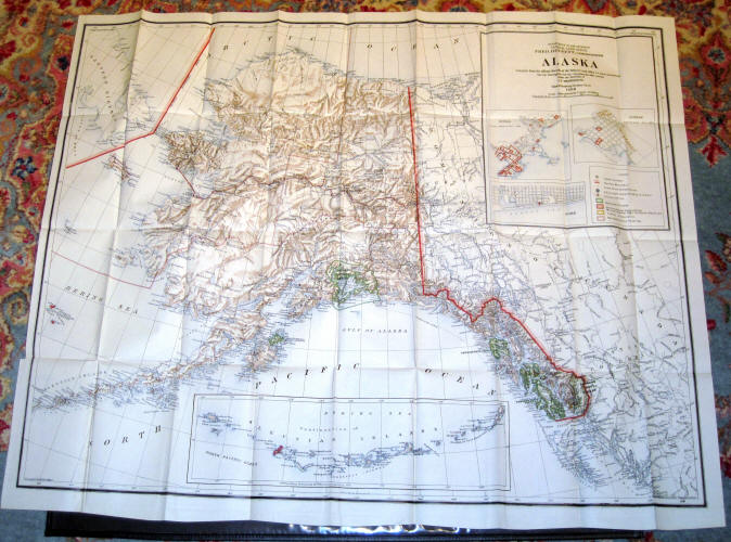
"Alaska" - Department of the Interior General Land Office, Fred Dennett Commissioner, Compiled from the Official Records of the General Land Office U.S. Coast and Goedetic Survey, I. P. Berthrong, 1908. Map has many folds and is lightly toned. 31" x 39." - $250
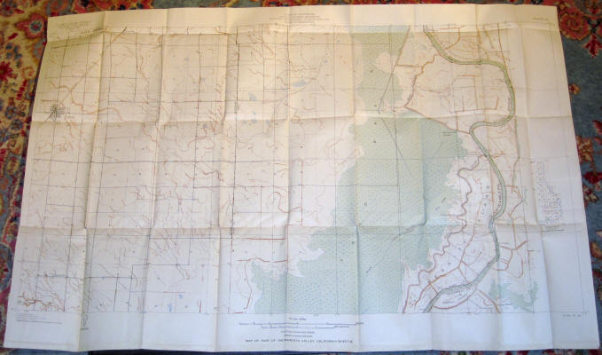
"Map of Sacramento Valley, California (Sheet M)" U.S. Geological Survey 1906. A couple of small separations at fold points. 27 1/8" x 41." - $175
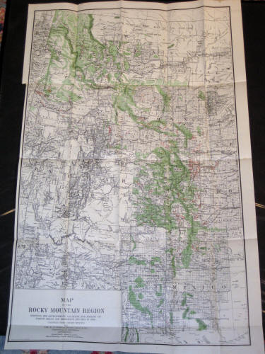
Col. E. T. Ensign: "Map of the Rocky Mountain Region - Showing The Approximate Location and Extent of Forest Areas and Irrigation Ditches in 1885" Photo lith by A. Hoen & Co. Baltimore, MD. Map has numerous folds and light toning overall. 32 1/4" x 20." - $145
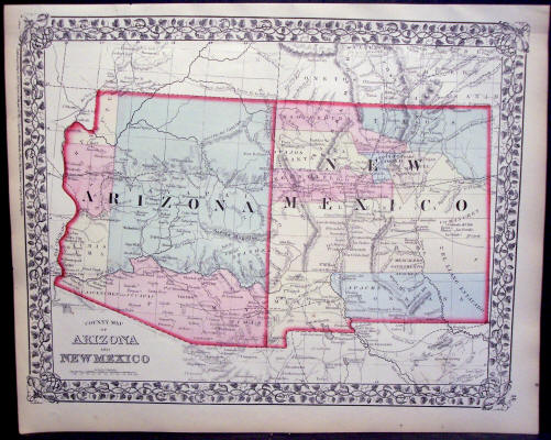
S. Augustus Mitchell: "County Map of Arizona and New Mexico," 1874. Original Hand-Colored Single-Page Map from Mitchell's New General Atlas. Measures 12 1/4" x 15 1/4." Light foxing. - $195
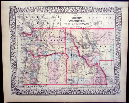
S. Augustus Mitchell: "Map of Oregon, Washington, Idaho and Part of Montana," 1874. Original Hand-Colored Single-Page Map from Mitchell's New General Atlas. Measures 12 1/4" x 15 1/4." Light foxing. - $185
See More Maps...
CONTINENTS & COUNTRIES - USA - CENTRAL USA - SE USA 1 - SE USA 2 - NE USA 1 - NE USA 2